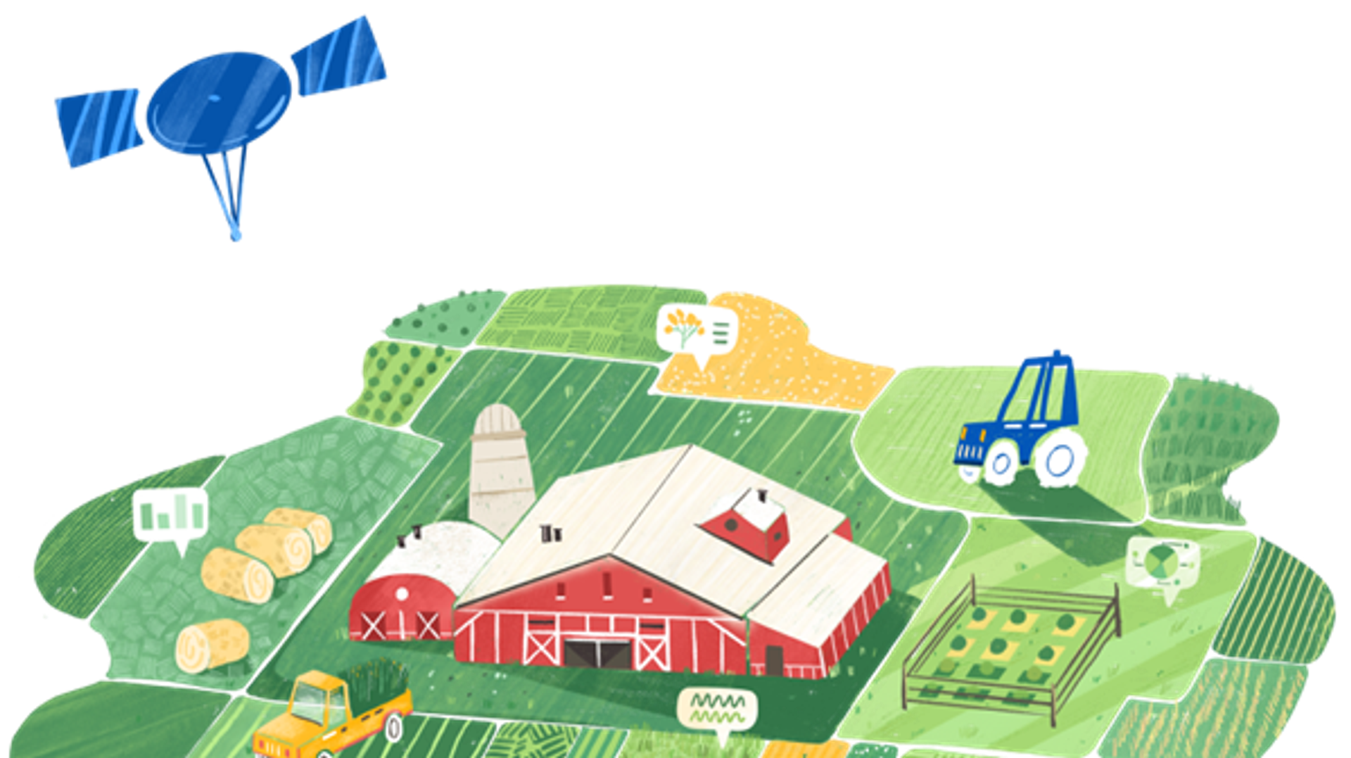
DigiFarm detects the world’s most accurate field boundaries using AI and satellite data
Quick information
- Available (Solutions are available for Canada, Germany, Norway and the US. Other regions will become available in 2021.)
- Americas, Europe, Asia, Africa and Oceania
- TechnologyArtificial intelligence and machine learning

At a glance
- Automatically delineated field boundaries and planted area based on in-season vegetation
- Outstanding Sentinel-2 SatEO data from 10 m to 1 m per pixel resolution
- Increases crop-yield potential, reduces fertiliser use, lowers input costs
DigiFarm’s agricultural intelligence solution optimises production, even on the smallest farms. The result is higher crop yields, less fertiliser use and lower input costs.
CHALLENGE
All precision farming services, digital agriculture and in-field analytics start with accurate field boundaries and planted area. Unfortunately, existing field boundary data, which is typically managed by national agencies as cadastral data, is outdated and inaccurate, affecting the entire agricultural value chain from pre- to post-production.
Boundaries and seeded acres change every year, but this data is not updated accordingly. For example, the US Common Land Units (CLUs) were manually drawn on a digital map covering some 32 million fields 16 years ago by the USDA. The data in EU’s Land Parcel Identification System is outdated and inaccurate as well. In the 27 EU regions, this affects over EUR 45.5 billion subsidies annually, based on existing boundaries.
Farmers are also affected. Globally, 40 per cent of all agricultural fields are overfertilised, and farmers lose 15 to 20 per cent in yield potential through inadequate input application because they have not adopted precision agriculture technologies.
SOLUTION
Field boundaries are the “enabler” of digital agriculture and plant monitoring
DigiFarm detects the world’s most accurate field boundaries and seeded acres to power precision agriculture and in-field analytics. The company’s deep neural network models automatically detect field boundaries with Sentinel-2 satellite imagery with 10 m to 1 m per pixel resolution. This is essential, given that 83 per cent of the world’s agricultural field boundaries are smaller than 2 hectares.
DigiFarm has successfully validated the model on roughly 400 million hectares of fields, achieving detection accuracies of over 94 per cent. This is 12-15 per cent higher than existing boundary data.
DigiFarm delivers its solution as Software as a Service that seamlessly integrates into clients’ digital solutions via APIs.
BENEFITS
Benefits for diverse types of users
DigiFarm’s solution allows growers to make data-driven decisions about field productivity, such as optimising seeding with accurate data to increase crop yield.
Meanwhile, the solution enables agricultural organisations to optimise operations, make better data-driven decisions, reduce seasonal uncertainty, minimise production costs and increase crop revenue.
DigiFarm also delivers field boundaries and analytics based on vegetation from the satellite imagery data to agribusinesses and governments, who use the data for in-season plant health analysis and monitoring, reporting, and verification of subsidy applications. The solution currently saves the paying agencies of Austria, Latvia, Lithuania, Macedonia and Sweden roughly 25 per cent in annual control costs.
The company delivers data to the finance and insurance industry as well, enabling it to reduce risk and premiums and provide up-to-date data on a client basis.
MARKET POTENTIAL
There are 570 million farms worldwide, all of which can benefit from DigiFarm’s solution, regardless of size. Smallholder farmers in particular will benefit from precision agriculture technologies, given that some 30 per cent of the world’s agricultural fields are not mapped or digitised.
DigiFarm launched its commercial services in 2022 and now serves 52 enterprises in 17 countries, with a core team of 60 employees.
Its B2B and B2G clients include Yara International, FMC, Bayer Crop Science, CNH Industrial, ENI, KWS, and the ministries of agriculture in Austria, Latvia, Lithuania, Macedonia and Sweden.
DigiFarm has received blended finance from the EIC Accelerator and was the first startup accepted into ESA BIC Norway. It also won the INNOSpace Masters and Airbus Challenge in 2021 and was nominated by the European Space Agency (ESA) as one of Europe’s top 20 startups in 2023.
DigiFarm is a member of the NCE Heidner Biocluster, Norway’s national cluster for bioeconomy and sustainable food production.